How to Convert KMZ to CSV for Excel
To convert KMZ to CSV, open the archive in a converter that understands KML, choose the map document you need, review its point locations and download the table. The KML & KMZ to CSV converter on TimeToTime Tools performs this workflow in your browser. It also accepts an ordinary .kml file.
Try it free: KML & KMZ to CSV Converter Free to use, no account needed.
This tool is for point locations, such as survey sites, saved places or inspection checkpoints. If you need polygon boundaries, complete routes or a reproduction of your map, use a GIS export workflow instead. A CSV from this converter is a table of supported fields, not a replacement for the original map.
What is the difference between KML and KMZ?
KML is an XML format for geographic features. A KMZ is a ZIP archive that can package KML with supporting resources. A file can therefore contain much more than latitude and longitude: styles, descriptions, images and references to other content are possible. See Google's KML reference and KMZ archive guide.
Renaming places.kmz to places.csv does not turn the map into a spreadsheet. A converter must open the archive, read a KML document and write the desired fields into rows and columns.
Convert a KMZ file in three steps
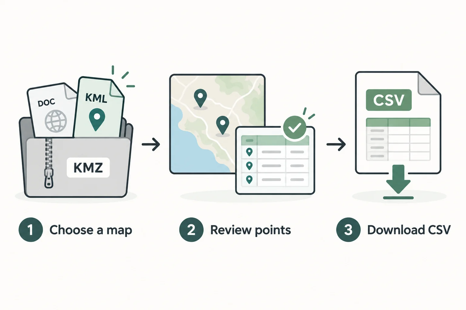
1. Choose the map file
Open the converter and select Browse files. Choose one .kml or .kmz file. Its filename, size and selection status appear beside the picker so you can confirm that the right file is selected. Then select Read map.
If a KMZ contains several KML documents, the tool lists them instead of guessing which one you intended. Choose a document and select Read map again. Each document gets its own preview and CSV. Changing the selection clears the previous preview so you cannot accidentally download the old result under a new selection.
You can use Try an example to explore with fictional locations first. No account or map-service credentials are required.
2. Review coordinates and exclusions
Check the names, folder paths and coordinate columns against your source. KML coordinate tuples use longitude, latitude, optional altitude, in that order. The converter gives each value a separate labelled column. It keeps the source number strings without rounding or switching longitude and latitude. Coordinate ordering is defined in the KML Point reference.
A point with invalid coordinates stays visible with an error and blocks the document's download. For example, latitude 120 is outside the accepted −90 to 90 range. Correct the source and read it again. The converter does not guess which coordinate was intended or silently delete a bad row.
Lines, polygons, tracks, overlays and linked maps are excluded and counted. If the document contains both supported points and excluded features, you must acknowledge that the CSV is a partial export. A polygon is not replaced by its centre, and a line is not converted to a list of vertices.
3. Download and import the CSV
Select Download CSV after reviewing the result. The output is UTF-8 CSV with a byte-order mark and comma-separated, quoted fields. The downloaded filename is map-points.csv.
For Excel, use its text/CSV import workflow so you can review column types. Treat placemark IDs and any data codes as Text when leading zeros or long identifiers matter. Confirm that longitude, latitude and altitude use the expected decimal interpretation for your locale. CSV does not carry a column-type schema; a spreadsheet can reinterpret values when opening the file.
For a quick check before importing elsewhere, use CSV Viewer or a text editor. Keep the original map alongside the spreadsheet if you need to refer back to geometry or styling.
Which fields are included?
| CSV column | What you get |
|---|---|
| Name | The placemark name, or an empty cell when absent |
| Folder | Nested folder names joined with /; the document title is not included |
| Placemark ID | The source id attribute, when supplied |
| Point number | The point's position within its placemark, starting at 1 |
| Longitude | Source east/west coordinate string, without rounding |
| Latitude | Source north/south coordinate string, without rounding |
| Altitude | Source altitude string, or an empty cell when absent |
| Altitude mode | Source mode, or clampToGround when no mode is supplied |
| Description | Description text; encoded HTML or CDATA markup remains literal text |
| Data: field name | Supported ExtendedData Data and SimpleData values |
A placemark with several Points inside MultiGeometry produces several rows. Each row repeats that placemark's name, ID, description and supported data. The Point number helps distinguish those rows. Missing data values become empty cells rather than invented values.
The altitude column is not a terrain-height calculation. Interpret it together with its mode and source map. This tool does not fetch elevation data or transform coordinate systems.
Spreadsheet text protection
Protect formula-like text in spreadsheets is on by default. It adds an apostrophe before text that starts like a spreadsheet formula. Validated numeric coordinate values are kept numeric, including negative longitude or latitude.
This protection intentionally changes affected text cells. If your destination needs the original text, you can disable it after reviewing how that destination handles formulas. It does not stop all spreadsheet auto-formatting; choosing Text for identifiers is still useful.
Descriptions are never inserted into the page as HTML. Markup in a description is shown and exported as literal text, so the converter does not load embedded images, run scripts or reproduce a rich map balloon.
Limits and common problems
The current limits are one file up to 10 MiB, 10,000 point rows, 10,000 placemarks and 50 distinct data fields. KML must use the KML 2.2 namespace and UTF-8 encoding. Deeply nested or unusually complex XML is rejected.
For KMZ, the limit is 20 KML documents, 500 archive entries and 30 MiB of declared expanded content. The chosen KML is also capped at 10 MiB while decompressing. Encrypted, damaged, ZIP64 or ambiguous-path archives are unsupported. Export a smaller standard KMZ if your file hits one of these limits.
Reading stops after 15 seconds and has a Cancel reading action. Cancellation keeps the selected file available for another attempt. If reading repeatedly reaches the limit, export fewer features from the source application.
Why is the point table empty?
The selected document may contain only lines, polygons, overlays or network links. It can also be an empty document. Check the reported exclusions and, for a multi-document KMZ, check that you selected the intended KML. The converter does not fetch a remote map referenced by a NetworkLink.
Does the CSV contain everything in my map?
No. Styles, timestamps, icons, media and map appearance are outside this tool's exported fields. The exclusion list highlights unsupported features; it is not a list of every omitted metadata property. Use the field table above as the export contract.
Is the map uploaded to a server?
File reading and conversion run in a browser worker. The converter does not upload file contents, save them in browser storage or include them in tool analytics. Clear the file or leave the tool to release its in-memory data. Ads and other site services may make separate network requests, so browser processing does not mean the whole site operates offline.
Convert a KML or KMZ file to CSV when you are ready, or start with the fictional example.
About this guide
This guide describes TimeToTime Tools' point-table converter and its current limits. The article and conceptual illustrations were created with AI assistance. The images are illustrations, not product screenshots or a promise of complete GIS conversion. Primary format references: Google's KML reference and KMZ archive guide.
Try it free: KML & KMZ to CSV Converter Free to use, no account needed.